What I do

Spatial Intelligence
I process and interpret spatial and non-spatial data to create clear, meaningful visual narratives. Through mapping, diagramming, and structured information design, I help clients uncover patterns, enhance understanding, and support informed decision-making. My work transforms complex data into intuitive tools that shape better cities, guide navigation, and communicate ideas effectively.

Cartography & Spatial Design
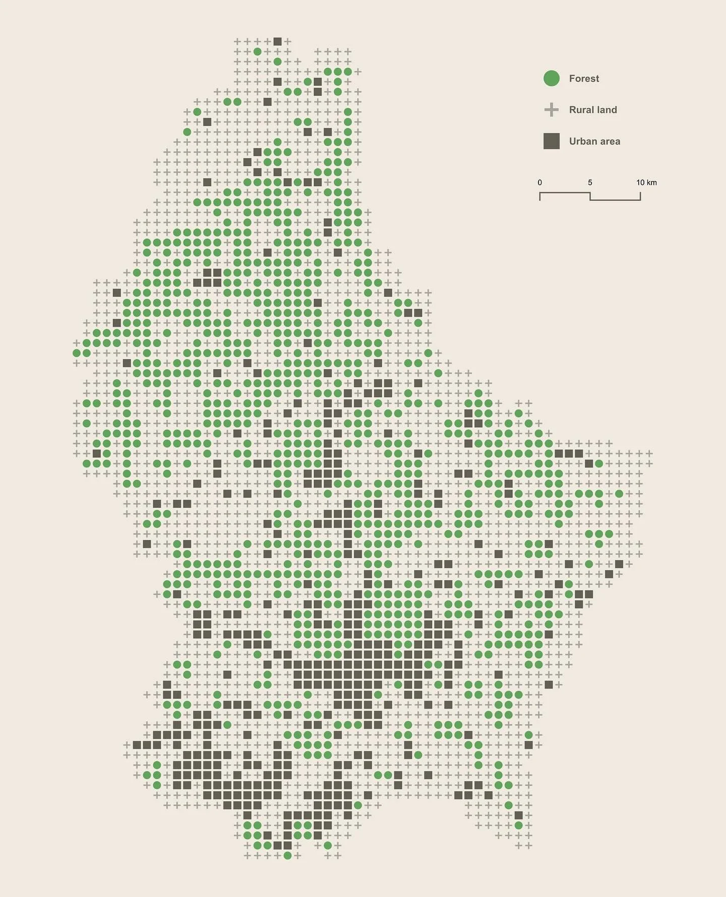
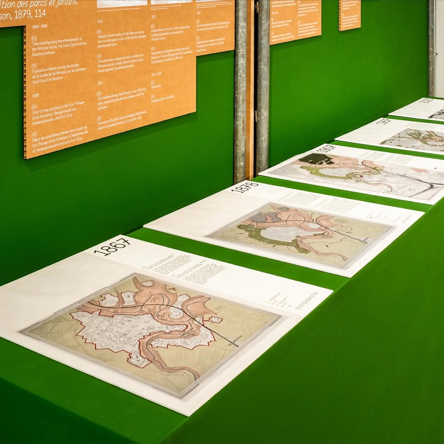
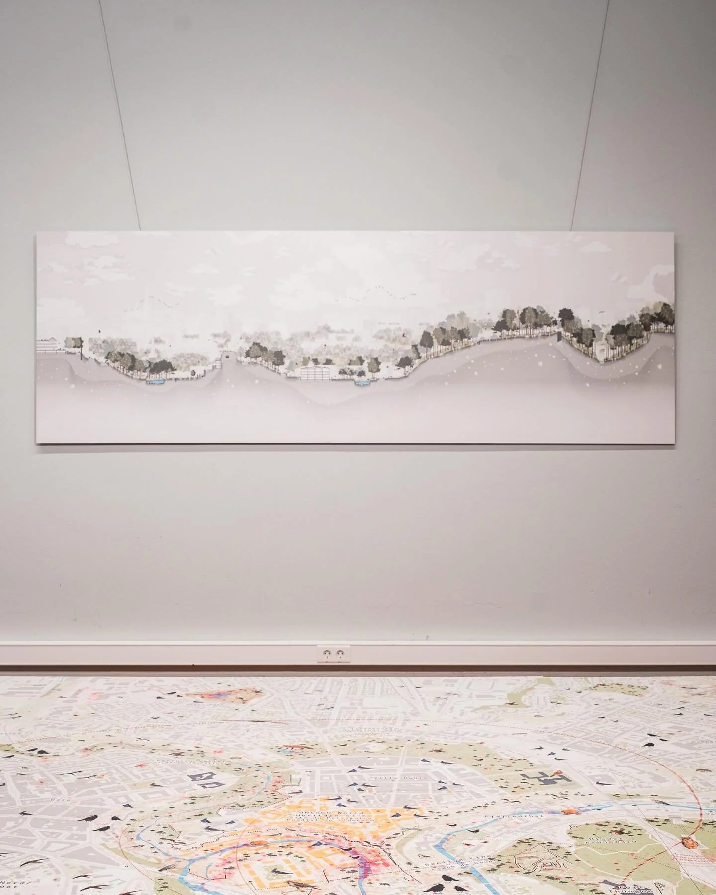
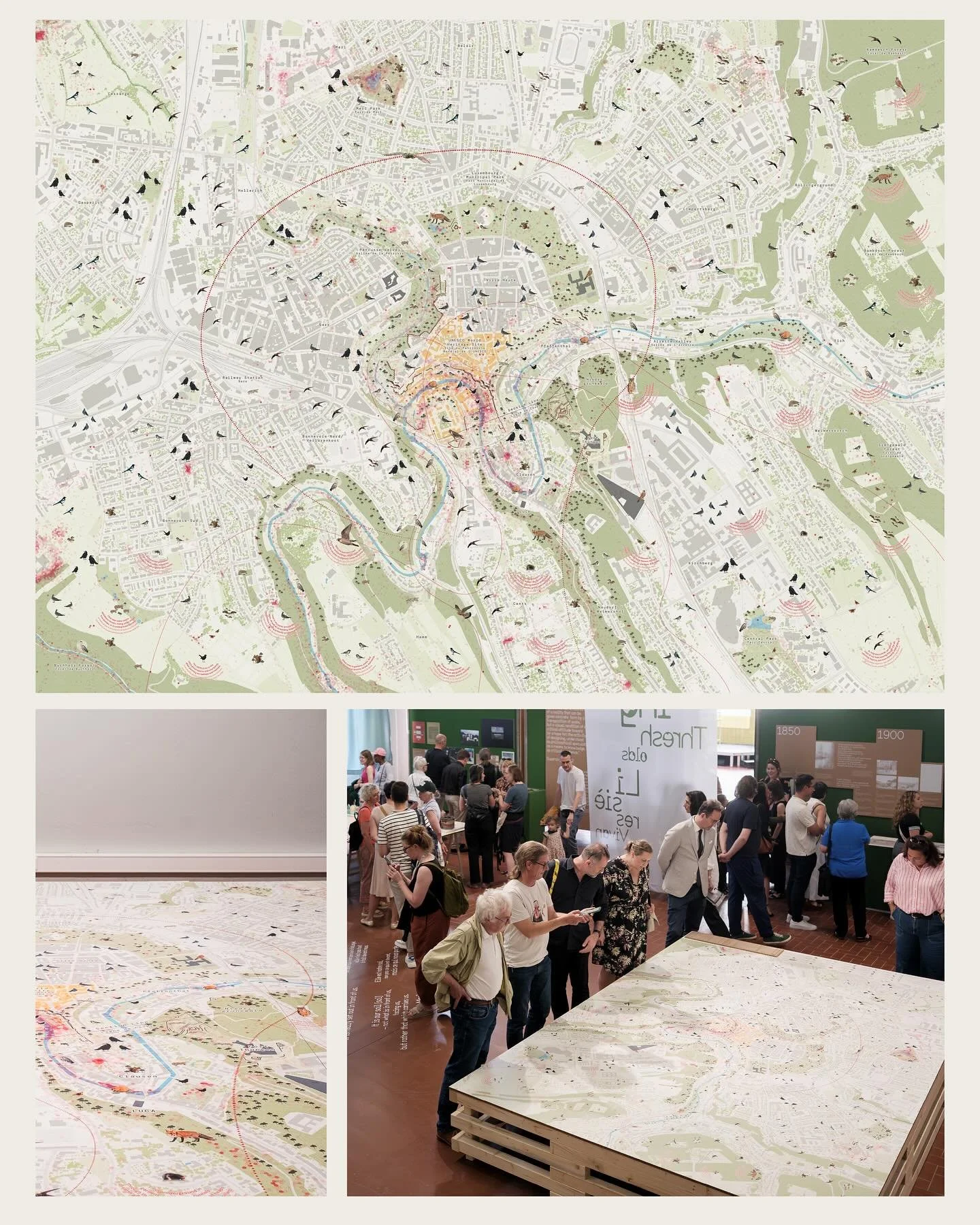
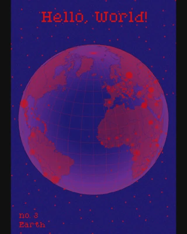
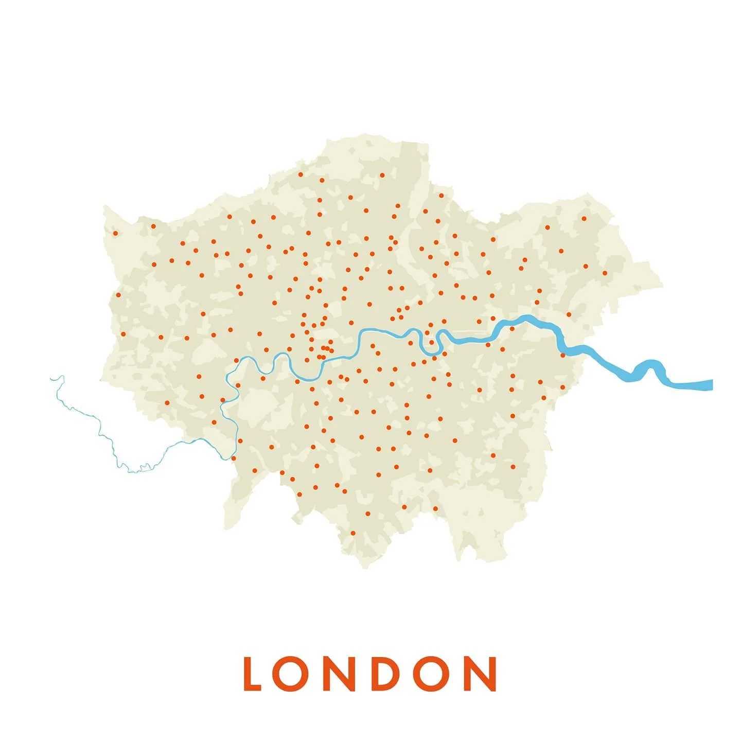
I craft precise, visually compelling maps that translate complex spatial data into clear, actionable insights. Using GIS and cartographic design, I create dynamic mapping solutions that enhance wayfinding, urban planning, and spatial storytelling. My approach balances aesthetics and functionality, helping cities, planners, and designers navigate and communicate spatial challenges effectively.

Interactive & Digital Mapping
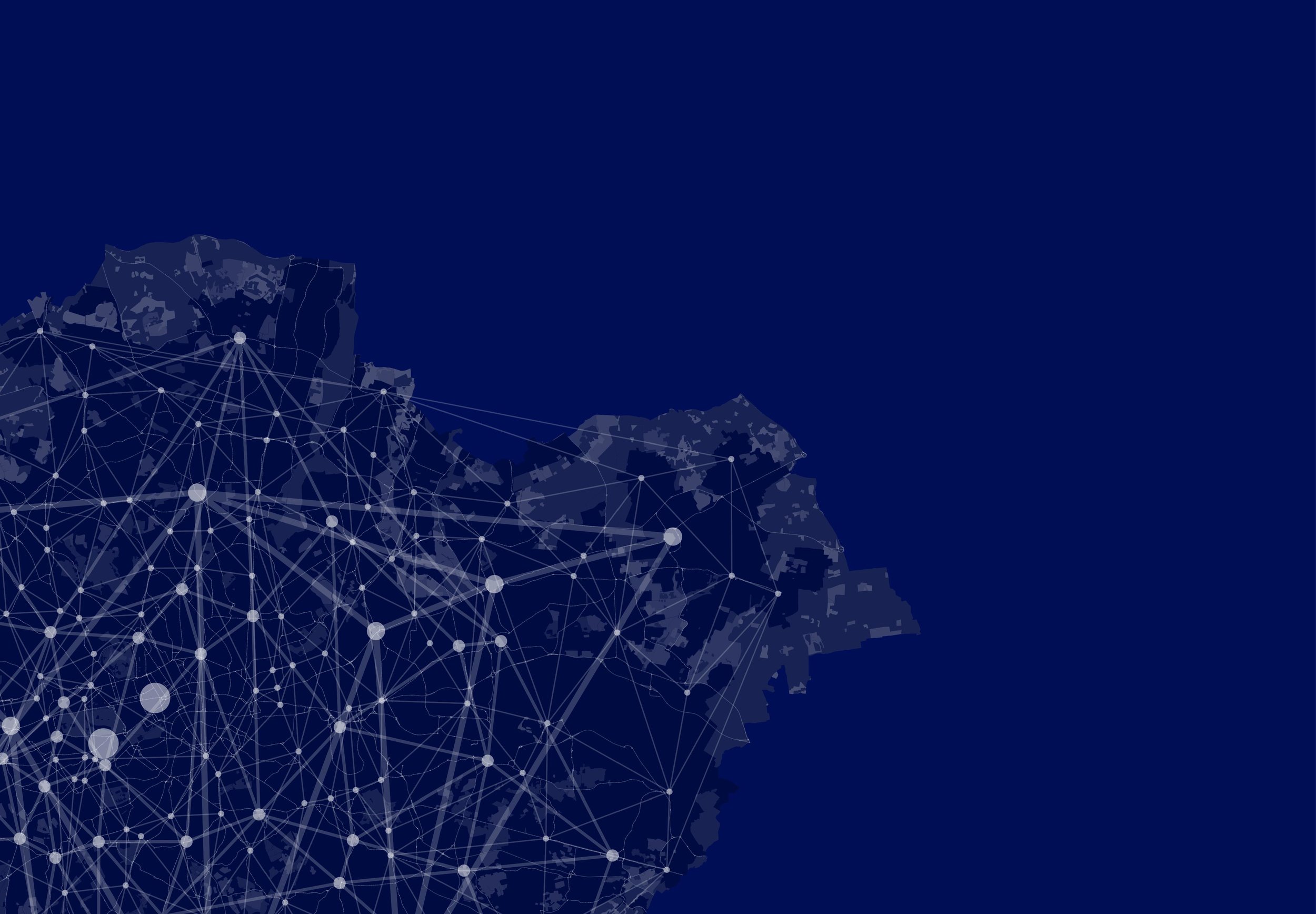
I create intuitive digital platforms and interactive maps that bring spatial information to life. By blending cartographic design with user-centered experiences, I develop tools that enhance navigation, storytelling, and urban planning. My solutions engage stakeholders, making complex data more accessible and visually compelling, fostering a deeper understanding of cities and spaces.

Clients