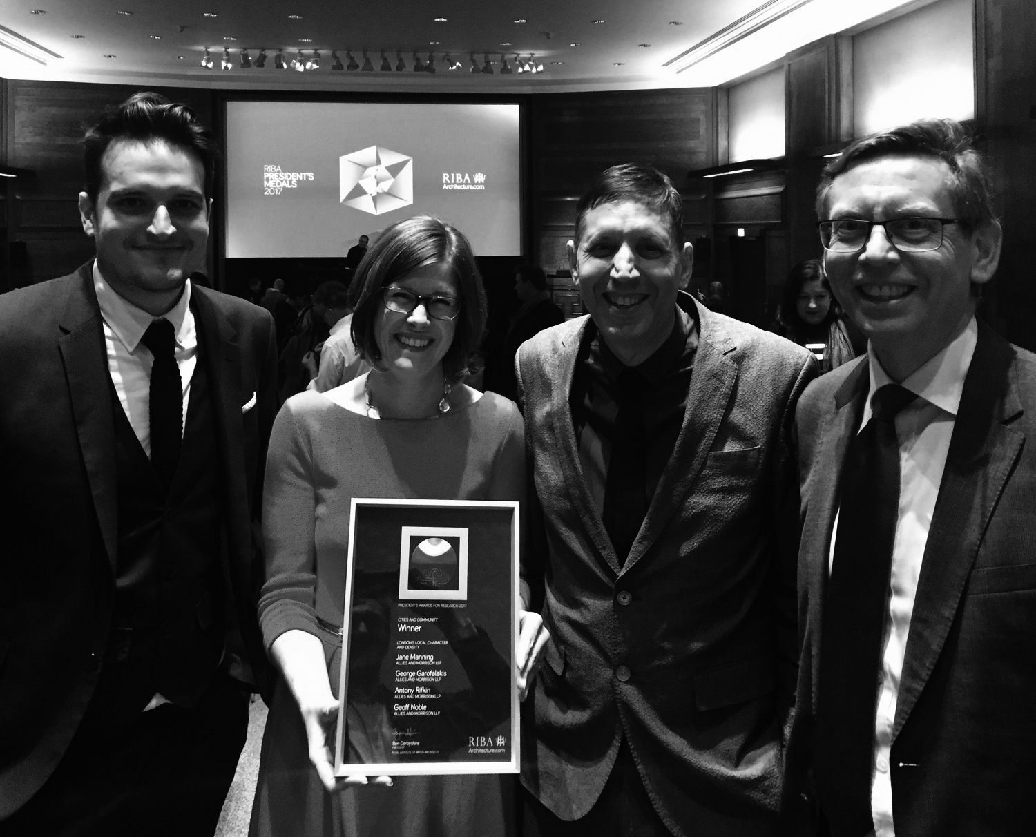
London's Local
Character and Density
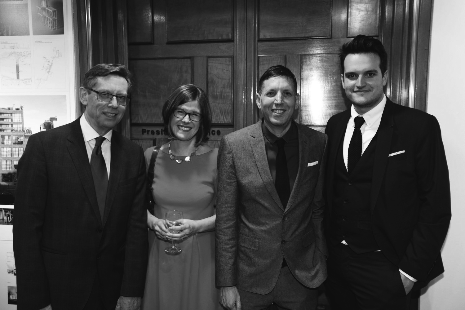
WINNER of the RIBA President's Award for Research 2017 | Category: Cities & Community
A collaboration with Allies and Morrison - Urban Practitioners for Historic England.
Year: 2017

George has been a long-time collaborator with Allies and Morrison, Urban Practitioners. When the team was commissioned by Historic England to identify the different character areas of London and to analyse their impact on development growth and density, it seemed like the perfect project for a large-scale mapping investigation.
Identifying London's character areas was a challenging and complex process. To show a richer tapestry of space typologies, the team drew upon a vast range of information and data sources, which were then compiled using GIS. The key output was the production of an interactive, London-wide mapping tool that illustrates the complexity of each character area, forming the basis for a new kind of area assessment process. This process considers character factors such as street morphology, variety, street relationship, building typologies, and green spaces to inform the density and form of development.
The project won the RIBA President's Award for Research 2017, and the main character map of London is featured in the 2017 London Plan.

"Using Geographical Information System software, it has created one of the most comprehensive mappings of London’s local character to date."